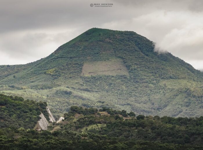
Canyoning in Nayarit centers on two areas less than two hours from Tepic: the mountains that drop toward San Blas, home to Tecuitata canyon and the El Cora descent, and the Ruiz sierra to the north, where Cañón del Diablo runs alongside Tenamache creek. Add El Capomo in Compostela and El Manto canyon in Amatlán de Cañas. A guided descent with gear costs approx. $1,200–3,000 MXN (65–170 USD) in 2026, and the safest season runs from November to February.
This guide covers the technical planning: which canyon fits your level, when to go, what gear you need, how to check that a guide is certified and what it costs. If you just want to swim in a pool or see a waterfall without ropes, the guide you need is waterfalls and hot springs in Nayarit; for lesser-known spots of every kind, see hidden places in Nayarit.
What is canyoning?
Canyoning (cañonismo or barranquismo in Spanish) means descending a canyon or mountain riverbed by following the water: you scramble over rock, swim across pools, jump, slide down natural chutes and rappel down waterfalls. It can be a morning of jumps and swimming or a long day with several rappels. What defines it is that you keep moving downstream, and once you’re in, getting out isn’t always easy. That’s why it’s done with a guide, helmet, harness and wetsuit.
The best canyons for canyoning in Nayarit
Tecuitata canyon (San Blas)
The most popular route in the state. In the village of Tecuitata, on the road from Tepic to Santa Cruz de Miramar, a creek forms a canyon of springs, pools and stepped waterfalls with views over Matanchén Bay. The route mixes jumps into pools from 2 to 14 meters (7 to 46 ft), natural slides and one rappel. Intermediate level: no experience needed, but you must swim well and be fit. It’s 44 km from Tepic (about 1 h 15 min) on paved road. Note that Tecuitata belongs to the municipality of San Blas. More about the drive in the Tecuitata canyon route.
El Cora waterfall rappel (San Blas)
Nine kilometers from Tecuitata, El Cora waterfall drops about 40 meters into a green canyon. You can walk down to the pool on your own; the technical rappel down the falls requires an operator. It’s a good second outing once you’ve done Tecuitata. Directions in the El Cora waterfall route.
Cañón del Diablo and Tenamache creek (Ruiz)
North of Tepic, next to the old Real Mineral del Zopilote mining village, Tenamache creek cuts a gorge about 4 km long with sheer walls, waterfalls and pools: you hike, swim, jump (2 to 11 m) and rappel. It’s the most remote canyon on this list. Drive through the town of Ruiz, past El Venado, and about 9 km later, at the Tenamache creek bridge, a 4 km dirt track begins. From Tepic it’s about 77 km and 1 h 45 min. Upper-intermediate difficulty; a guide is mandatory and there’s no cell signal.
El Capomo waterfall (Compostela)
A jungle canyon near Las Varas. You reach the waterfall on a 3.5 km trail from the village of El Capomo; the technical descent is guided only. In winter it can run low, so check the flow before you go.
El Manto (Amatlán de Cañas)
In the Pueblo Mágico (Magical Town) of Amatlán de Cañas, in the south, El Manto is a cold-water canyon for swimming, cliff jumping and guided rappelling. It’s the easiest option for a first experience and pairs well with the valley’s hot springs.
Nayarit canyons compared
| Canyon | From Tepic | Level | Highlights | Approx. price 2026 |
|---|---|---|---|---|
| Tecuitata (San Blas) | 44 km / 1 h 15 min | Intermediate | 2–14 m jumps, slides, one rappel | $1,200–1,800 MXN (65–100 USD) guided |
| El Cora rappel (San Blas) | 53 km / 1 h 30 min | Intermediate | Waterfall of about 40 m | Access $50–100 MXN + operator |
| Cañón del Diablo / Tenamache (Ruiz) | 77 km / 1 h 45 min | Upper-intermediate | 4 km gorge, 2–11 m jumps, rappel | $1,500–3,000 MXN (85–170 USD) with gear |
| El Capomo (Compostela) | 86 km / 1 h 45 min | Intermediate | 3.5 km trail and jungle canyon | $1,500–3,000 MXN guided |
| El Manto (Amatlán de Cañas) | 120 km / 2 h 15 min | Beginner-intermediate | Swimming, jumps and rappel in cold water | Entry approx. $180 MXN adults; guide extra |
To compare these prices with the rest of your trip, see how much a trip to Nayarit costs.
Difficulty levels
Operators usually rely on the European grading system, which rates each canyon with three values: v (vertical, v1 to v7, by the height and difficulty of the rappels), a (aquatic, a1 to a7, by current and swimming) and a Roman numeral from I to VI for commitment (how hard it is to exit midway). In practice:
- Beginner (v1–v2, a1–a2): hiking, swimming in calm pools, optional jumps and short rappels. Example: El Manto.
- Intermediate (v3, a3): multi-pitch rappels, higher jumps and mandatory swimming. Examples: the full Tecuitata route, the El Cora rappel.
- Advanced (v4 and up, a4+): long rappels in flowing waterfalls, strong current and hard exits. In Nayarit, an intermediate canyon can reach this level when rains raise the flow.
Ask your operator for the exact grade of the route and how many rappels it includes.
Season: dry vs rainy
| Months | Water flow | Canyoning conditions |
|---|---|---|
| November – February | Still high, clear pools | Peak season: best balance of water, safety and temperature |
| March – June (dry) | Low; El Capomo may slow to a trickle | Spring-fed Tecuitata keeps running; strong heat from May |
| July – October (rainy) | Maximum, murky water | Spectacular canyons (Tenamache in Ruiz carries more water), but real flash-flood risk; trips depend on the forecast |
A flash flood can arrive within minutes even if it isn’t raining in the canyon; a storm up in the sierra is enough. No serious operator goes in when storms are forecast. To match dates with the weather, see the best time to visit Nayarit and Nayarit weather month by month.
Safety
- Book only with operators whose guides are accredited (see below); technical descents are not a do-it-yourself activity.
- Never jump into a pool until the guide has checked depth and rocks, and jump only where told.
- Check the forecast for the mountains, not just the canyon, and share your route with someone outside the group.
- Carry cash and don’t count on your phone: there’s no signal in Ruiz or parts of the San Blas sierra.
- Respect your limits. A canyon is more tiring than it looks, and the exit is usually uphill.
Required gear
Your operator should provide the technical equipment:
- Canyoning helmet and harness
- Wetsuit (mountain water is cold even on hot days)
- Ropes, descender and locking carabiners
- Dry bag for keys, ID and a first-aid kit
You bring closed shoes with grippy non-slip soles (no sandals), swimwear, dry clothes for the ride back, water, snacks and biodegradable sunscreen.
Guide certification
In Mexico, adventure guides are regulated by NOM-09-TUR-2002, which lists canyoning as a specialty. To earn the recognition credential issued by Mexico’s Tourism Ministry, a guide must first hold the hiking specialty, prove skills in canyon progression, multi-pitch rappelling, anchors and swiftwater rescue, and show a current first-aid and CPR certificate. Before you pay, ask to see the guide’s credential, check whether insurance is included and ask what the plan is if the river rises.
Frequently asked questions
Where can you go canyoning in Nayarit?
Mainly at Tecuitata and El Cora (San Blas), Cañón del Diablo along Tenamache creek (Ruiz), El Capomo (Compostela) and El Manto (Amatlán de Cañas).
How much does canyoning in Nayarit cost?
In 2026, a guided Tecuitata descent costs approx. $1,200–1,800 MXN (65–100 USD), and longer routes with gear and transport approx. $1,500–3,000 MXN (85–170 USD).
Do I need experience?
Not for Tecuitata or El Manto: you need to swim well and be fit, and the guide gives a safety briefing. For Cañón del Diablo or rainy-season descents, prior experience helps.
When is the best time for canyoning?
November to February: there’s water, the pools are clear and flood risk is low. From July to October canyons carry more water, but trips depend on the forecast.
Is a guide mandatory?
Yes for Tecuitata, Cañón del Diablo and the technical descents at El Cora and El Capomo. Choose guides credentialed under NOM-09-TUR-2002.
Can kids go canyoning?
It depends on the canyon and operator. El Manto is the most accessible; Tecuitata requires strong swimming and good fitness. Ask about the minimum age before booking.
Area map
- 1Tecuitata (canyon) San Blas. Most popular canyoning route; 2–14 m jumps and a rappel. Guide required.21.4495, -105.1457 · Open in Google Maps
- 2El Cora San Blas. Waterfall of about 40 m; rappel with an operator.21.4303, -105.1138 · Open in Google Maps
- 3El Zopilote (Cañón del Diablo) Ruiz. Old mining village by Tenamache creek; guided canyon access.21.9585, -104.9342 · Open in Google Maps
- 4El Capomo Compostela. Start of the 3.5 km trail to El Capomo waterfall.21.1139, -105.1212 · Open in Google Maps