Rosamorada, Nayarit: Things to Do, Seafood and Directions
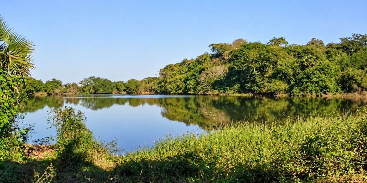
Rosamorada Nayarit is a municipality in the north of the state that runs from the mountains to the sea: to the east, foothills climbing toward the Sierra Madre Occidental and Cora (Náayeri) communities; to the west, a plain of estuaries and lagoons that belongs to the vast Marismas Nacionales wetland. The town of Rosamorada sits about 82 km (51 mi) from Tepic, right off the 15D Tepic–Mazatlán toll road, and makes an easy stop for seafood and for exploring one of the least-visited corners of Nayarit.
Many people search for it as “Rosa Morada,” in two words. The official name of the municipality and its seat is Rosamorada, written as one word, though both spellings refer to the same place. According to Mexico’s 2020 census (INEGI), the municipality has 33,567 residents; the seat has 3,718 and, interestingly, is not the largest town: San Vicente, Pericos and Chilapa are just as important.
Rosamorada Nayarit at a glance
- Population (INEGI, 2020 census): 33,567 in the municipality; 3,718 in the seat.
- Indigenous languages: 17.4% of residents aged 3 and over (about 5,840 people) speak an Indigenous language: Cora (5,413), Huichol (341) and Southern Tepehuán (64).
- Area: 1,843.96 km² (712 sq mi), 6.5% of the state.
- Borders: Tecuala and Acaponeta to the north, Del Nayar to the east, Ruiz and Tuxpan to the south, Santiago Ixcuintla to the west.
- Rivers and lagoons: the Bejuco, San Juan and San Pedro rivers (the San Pedro forms the southern boundary) and the Agua Brava, Pescadero and Francisco Villa estuaries.
- Economy: farming (beans, chili, rice, melon, watermelon), cattle, fishing and shrimp farming in the lagoons.
- History: it received its legal land grant by a law of December 15, 1883, became a municipality in 1893 and was confirmed by Nayarit’s 1917 constitution.
Why is it called Rosamorada?
The name, “purple rose” in Spanish, comes from a leafy tree with purple flowers that once stood in the center of town, known locally as “clavellina.” Mule drivers, pack animals, passengers and stagecoaches traveling between Acaponeta and Tuxpan rested in its shade, and the stopover took the tree’s name. That rosamorada tree sits at the center of the municipal coat of arms, surrounded by a deer, an ear of corn, a zebu bull and a shrimp: hunting, farming, ranching and fishing.
Things to do in Rosamorada, Nayarit
The town center
Start at the main plaza with its arcades and at the Parroquia de la Purísima Concepción de María, a parish church of colonial origin with carved wooden religious pieces. Inside the town hall (presidencia municipal) is a small museum of local archaeological finds: clay figures, tools and kitchen utensils. Petroglyphs of the Aztatlán tradition have been documented in the municipality at sites such as Los Topiles, Teponahuaxtla, Los Relices and Paramita.
Former Hacienda de Chilapa
About 12 km (7 mi) south of town, Chilapa was a major agricultural estate in the early 20th century. Today it is a village with a plaza and remains of the hacienda buildings, worth the detour if you are interested in Nayarit’s rural history.
Wetlands, lagoons and hot springs
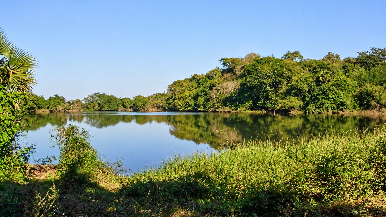
The western part of the municipality is a maze of mangroves and fresh and brackish lagoons. Agua Brava lagoon, fed by the Bejuco and Rosamorada rivers, connects to the sea through the Teacapán inlet and is one of the most important lagoons in the state; the whole area is part of Marismas Nacionales, the largest mangrove system on Mexico’s Pacific coast. El Pescadero, about 20 km (12 mi) from town, has a lagoon and hot springs; there are also thermal sulfur springs at San Marcos and San Diego, and a dam with a hot-spring pool near the seat. For birdwatching in the mangroves, ask for boatmen in the lagoon villages and go early, with insect repellent.
Paramita and Teponahuaxtla, toward the mountains
To the east the land rises toward the sierra. In Paramita, just a few kilometers from town, is the Los Cajones swimming spot, and in the rainy season the stream forms pools and falls known locally as El Cajón and La Barrenada. Teponahuaxtla, about 13 km (8 mi) away, is a community of Cora tradition that celebrates San Sebastián every January 20.
Pericos, Nayarit
Pericos (also called Los Pericos) is one of the most populous towns in the municipality, about 26 km (16 mi) southwest of the seat, in the farming and estuary zone. It is not a destination in itself, but you will pass near it if you follow the coast toward Santiago Ixcuintla and Mexcaltitán.
How to get to Rosamorada from Tepic
The fastest route is the 15D Tepic–Mazatlán toll road; the Ruiz toll booth is actually inside Rosamorada municipality. You can also take free Federal Highway 15 through Tuxpan. Approximate driving distances and times in 2026:
| From | Distance | Time | Route |
|---|---|---|---|
| Tepic | approx. 82 km / 51 mi | 1 h 10 min | 15D toll road or free Highway 15 |
| Tuxpan | 29 km / 18 mi | 30 min | Free Highway 15 |
| Acaponeta | approx. 52 km / 32 mi | 45–50 min | Highway 15 / 15D toll road |
| Tecuala | approx. 59 km / 37 mi | 50 min | Highway 15 and Tecuala road |
| Mazatlán, Sinaloa | approx. 200 km / 124 mi | 2 h 30 min | 15D toll road |
| Guadalajara | approx. 290 km / 180 mi | 3 h 45 min | 15D toll road via Tepic |
| Puerto Vallarta | approx. 250 km / 155 mi | 3 h 20 min | Highway 200 to Compostela, toll road to Tepic, then 15D |
By bus, lines running from Tepic to Acaponeta and Mazatlán on the free highway stop in Rosamorada. The nearest airports are Tepic (TPQ) and Mazatlán (MZT); Puerto Vallarta (PVR) has the most international flights. More options in how to get to Nayarit.
Rosamorada weather and festivals
The climate is hot and sub-humid, with a mean annual temperature of 25.6 °C (78 °F) and about 1,210 mm (48 in) of rain, 95% of it between July and September. Approximate values in town (2005–2024 averages):
| Months | Temperature | Rain | What to expect |
|---|---|---|---|
| December – February | High 29–30 °C (84–86 °F) / low 16 °C (61 °F) | Little | Best time to go: cool mornings and clear skies |
| March – May | High 31–35 °C (88–95 °F) / low 16–20 °C | Almost none | Dry heat; May is the hottest month |
| June – September | High 31–34 °C / low 24 °C (75 °F) | Very heavy (August is the wettest month) | Humidity, mosquitoes in the estuaries, hurricane season |
| October – November | High 31 °C (88 °F) / low 20–23 °C | Tapering off | End of the rains, green countryside |
| Date | Festival | Where |
|---|---|---|
| January 20 | San Sebastián: dances, processions, fireworks, charreadas (Mexican rodeo) and jaripeos (bull riding) | Teponahuaxtla |
| April 18 | Ejido Day (communal land) festival | Town |
| November 1–2 | Día de Muertos (Day of the Dead) | Cemeteries across the municipality |
| December 8 | Purísima Concepción (Immaculate Conception), patron saint festival: pilgrimages, dances and fireworks | Town |
A curious fact: Mexico’s Encyclopedia of Municipalities records the claim, attributed to historian Jean Meyer, that Rosamorada may have been a birthplace of mariachi, because of the raised platforms (tapancos) where Indigenous people played music at religious festivals. Today, the music you will hear most is banda.
Food: estuary seafood
The lagoons and estuaries make Rosamorada seafood country, especially shrimp: in aguachile (raw shrimp cured in lime and chili), a la diabla (spicy red sauce), al mojo de ajo (garlic), and in cocktails. You will also find pescado zarandeado (butterflied grilled fish), oysters and fried fish at the ramadas (open-air seafood shacks), and atole, tamales and empanadas in town. Learn where each dish comes from in our guide to traditional dishes from Nayarit.
A northern Nayarit route
Rosamorada pairs well with Tuxpan and its Coamiles archaeological site (30 min), Ruiz, Acaponeta and El Novillero beach in Tecuala (about 1 h 20 min). The town has basic services; for more lodging check our hotel and restaurant directory and the destinations of Nayarit.
Frequently asked questions
Is it Rosa Morada or Rosamorada, Nayarit?
The official name is Rosamorada, one word. “Rosa Morada” is a very common spelling for the same municipality, which took its name from a purple-flowered tree that stood in the town center.
Where is Rosamorada, Nayarit, Mexico?
In northern Nayarit, between Tuxpan and Acaponeta, about 82 km (51 mi) from Tepic on the 15D toll road. It stretches from coastal wetlands in the west to the foothills of the sierra in the east.
What is the population of Rosamorada?
According to INEGI’s 2020 census, 33,567 people live in the municipality and 3,718 in the seat. About 17% speak an Indigenous language, mainly Cora.
What is there to do in Rosamorada?
Visit the Purísima Concepción parish and the town hall museum, the former Hacienda de Chilapa, the Agua Brava and El Pescadero lagoons, hot springs and swimming spots such as Los Cajones in Paramita, and eat excellent seafood.
When is the Rosamorada town festival?
The patron saint festival of the Purísima Concepción is on December 8 in the seat. Teponahuaxtla celebrates San Sebastián on January 20.
Area map
- 1Rosamorada (municipal seat) Municipal seat, 3,718 residents (INEGI 2020). Purísima Concepción parish and town hall museum.22.1211, -105.2083 · Open in Google Maps
- 2Chilapa (former hacienda) Early 20th-century agricultural estate, about 12 km from town.22.032, -105.2317 · Open in Google Maps
- 3El Pescadero Lagoon and hot springs, about 20 km from town.22.1883, -105.3264 · Open in Google Maps
- 4Teponahuaxtla Community of Cora tradition; San Sebastián festival on January 20.22.2238, -105.1893 · Open in Google Maps
- 5Pericos One of the municipality's largest towns, in the farming and estuary zone.22.0495, -105.354 · Open in Google Maps